

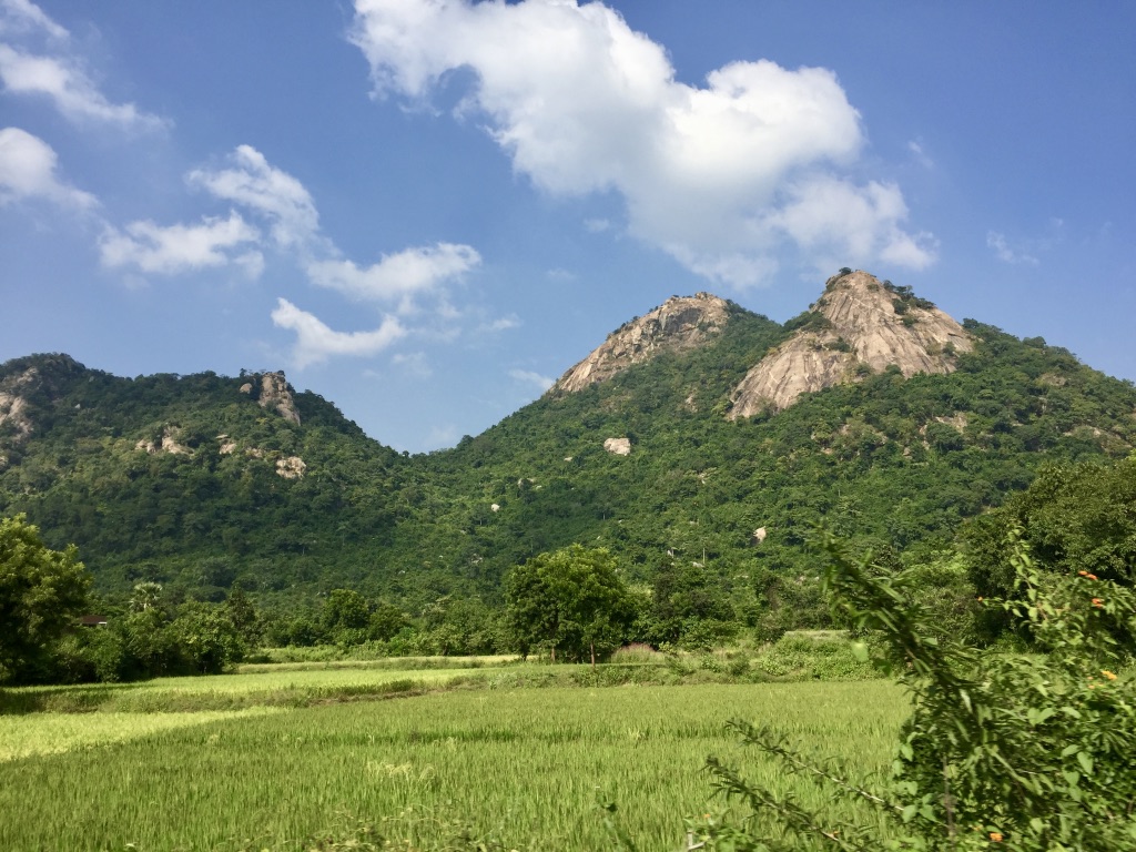
Bandghutu sacred grove
Bandghutu sacred grove is a traditional indigenous forest patch located in the Ajodhya Hill region of Purulia district in West Bengal, India. Coordinates: 23.208164950439876, 86.10295642416509
StateWest Bengal
DistrictPurulia District, Ajodhya Hill Region
LocationBandghutu sacred grove
Area—
Latitude23.2081650
Longitude86.1029564
About this Sacred Grove
Bandghutu sacred grove is a traditional indigenous forest patch located in the Ajodhya Hill region of Purulia district in West Bengal, India.
Coordinates: 23.208164950439876, 86.10295642416509
Location
Coordinates: 23.2081650, 86.1029564
Open in Google Maps ↗Plants / Species (1)
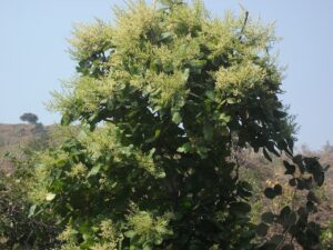
Pial, chironji, charoli, almondette, or Cuddapah almond
BuchananialanzanSpreng- Individual Count
- 5