

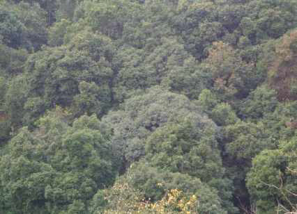
Law Adong Lait Raid Mawkhap sacred grove
It covers an area of 4.88 ha. It lies between 25.2310 N latitude and 91.5234 E Longitude with an altitude of 1517 m above mean sea level (MSL). It is bounded in the North by the land of J. Tyngsiar in the South and East by the land of H.Majaw and to the west bounded by the Bri Raid Mawkhap. It is about 36 km from Shillong.
About this Sacred Grove
It covers an area of 4.88 ha. It lies between 25.2310 N latitude and 91.5234 E Longitude with an altitude of 1517 m above mean sea level (MSL). consisting mainly of Quercus species Engelhardtia spicata as dominant species.
Local name: Albizia lebbeck botanical name: Dieng kreit
It is bounded in the North by the land of J. Tyngsiar in the South and East by the land of H.Majaw and to the west bounded by the Bri Raid Mawkhap. It is about 36 km from Shillong.
Location
Coordinates: 25.2310000, 91.5234000
Open in Google Maps ↗Plants / Species (1)
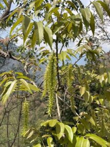
Himalayan Walnut
Engelhardtia spicata- Individual Count
- 0